


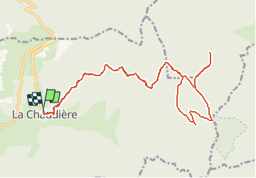


7.9 km | 11.2 km-effort


User


FREE GPS app for hiking
 SityTrail
IGN / Geographical institutes
SityTrail World
The world is yours!
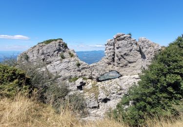
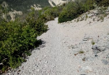
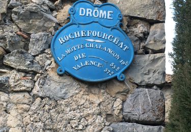
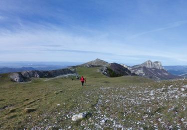
Trail Walking of 12.6 km to be discovered at Auvergne-Rhône-Alpes, Drôme, La Chaudière. This trail is proposed by ageo.
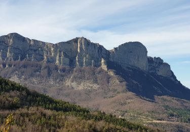
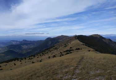
Rando très agréable, avec un point de vue exceptionnel. Le chemin a été refait, il vaut mieux passer par Valcourte pour éviter un AR sur la piste.
Walking

Walking
Walking

Walking
Walking
Walking
Walking
Walking
Walking